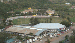
Matola
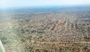
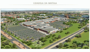
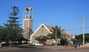
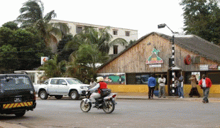
Matola is the largest suburb of the Mozambique capital, Maputo, adjacent to its westernmost side. It is the nation's second most populated city. Matola is the capital of Maputo Province and has had its own elected municipal government since 1998. It has a port and also the biggest industrial area in Mozambique. The population of Matola was, according to the 2007 census, 671,556 inhabitants, having increased to a 2017 census population of 1,032,197.
Matola, which is also a common family name, comes from Matsolo a Ronga kingdom that existed in this region when the colonists arrived.
Matola, which is also a common family name, comes from Matsolo a Ronga kingdom that existed in this region when the colonists arrived.
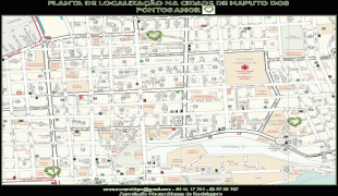
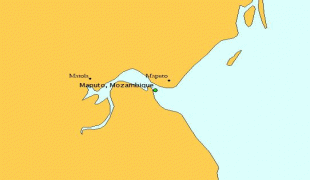
Map - Matola
Map


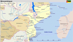
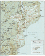


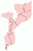
Country - Mozambique
 |
 |
| Flag of Mozambique | |
Notably Northern Mozambique lies within the monsoon trade winds of the Indian Ocean and is frequentely affected by disruptive weather. Between the 7th and 11th centuries, a series of Swahili port towns developed on that area, which contributed to the development of a distinct Swahili culture and dialect. In the late medieval period, these towns were frequented by traders from Somalia, Ethiopia, Egypt, Arabia, Persia, and India.
Currency / Language
| ISO | Currency | Symbol | Significant figures |
|---|---|---|---|
| MZN | Mozambican metical | MT | 2 |
| ISO | Language |
|---|---|
| PT | Portuguese language |